Endangered Species Recovery Program
Home
|
News
|
Publications
|
Species profiles
|
Data and maps
|
About
|
Staff
|
Links
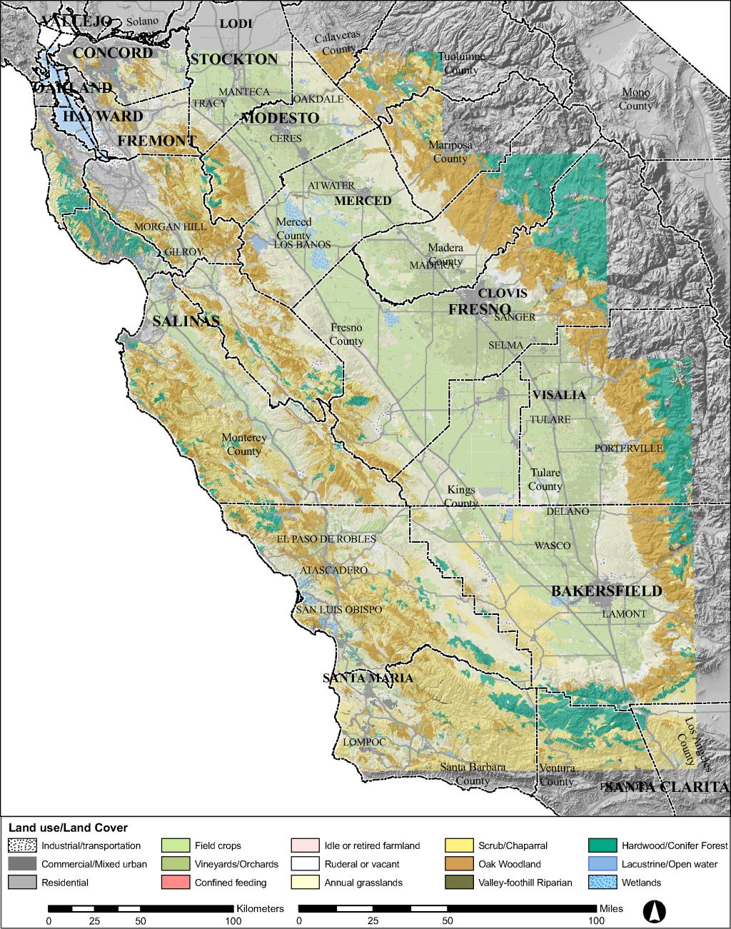
Digital Geospatial Resources
1:100,000 scale general land use/land cover of the San Joaquin Valley of California
esrplulc.jpg
- Browse graphic
esrplulc.html
- Metadata document
esrplulc200406b.zip
- Zipped shapefile
lulc200406.lyr
- ArcGIS Layer file (also in zip file)